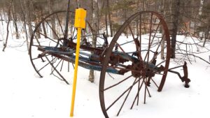
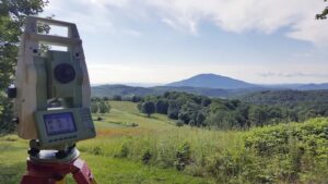
Easement Surveys
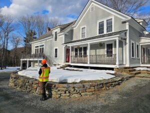
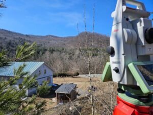
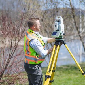
Holt Gilmour performs easement and right of way surveys for landowners and municipalities. With our vast experience in land surveying and diligence in researching and securing accurate data, we help parties understand their rights, resolve disputes, and take action toward necessary changes or improvements.
What is an easement survey?
An easement is a right to use a portion of land owned by another party. Easements are established for many reasons, including access to views, septic areas and utilities, restrictive covenants, and allowances for ingress and egress. When an easement is used for access or travel, it is often referred to as a right of way. An easement or right of way survey locates any existing easements and/or establishes new ones.
Reasons for an easement survey
We perform easement/right of way surveys to identify any existing easements that benefit or encumber a property and to ensure both parties understand them. Easements and rights of way often “run with the land,” meaning a current deed may not identify or describe the easement if it was established at an earlier date. Many landowners are unaware of their rights or that others hold certain rights over their property.
We also establish new easements and rights of way, often during a subdivision survey when new lots are being created.
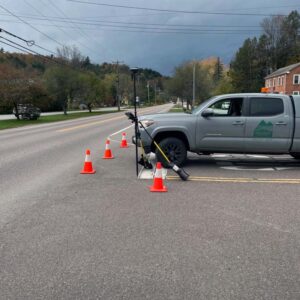
We have performed right of way surveys for numerous municipalities, researching historical road records and mapping historical roadways. These surveys are required for municipalities to take official action regarding town highways and rights of way, whether confirming their status, altering their status, or discontinuing them.
FAQs
A: Rights of way and other easements often run with the land. This means that if a previous owner of your property granted such rights to someone else previously, it does not need to be cited again in later deeds to be a valid property right. A thorough survey will disclose these types of rights.
A: Town highway widths vary and are established by the official layout recorded in the land records. When the width is not given in a town highway layout, or when it is not possible to locate a layout, the town highway width is often an assumed 3-rods (49.5 feet) wide. This extends the town highway right of way boundary of 24.75 feet on either side of the center of the town highway.
A: We can create a right of way from the town highway to the new lot. Many municipalities will grant a permit for a subdivision without frontage on a town highway if a right of way is established at the time the lot is created. We will coordinate with the municipality to ensure the right of way conforms to local regulations regarding width and slope.
Need a land surveying partner?
Let us be your partner for all your land surveying needs. We can help determine if—and when—you need a survey, and which services are right for you.
Serving Vermont, New Hampshire, New York & the Northeast
Holt Gilmour Survey Associates
(802) 457-4649
Locations
Woodstock
PO Box 544
51 Pleasant Street
Woodstock, VT 05091
(802) 457-4649
Williston
PO Box 1261
Williston, VT 05495
(802) 457-4649
Copyright © 2026 Holt Gilmour Survey Associates – All Rights Reserved – Website by Stride Creative Group