Flood Elevation Surveys
Professional flood elevation surveys are useful and reliable determinants of a property’s need for flood insurance. If your home or property is in a flood zone or is subject to flood insurance requirements, Holt Gilmour can help you reassess your flood insurance premiums by providing reliable, accurate elevation measurements.
What is a flood elevation survey?
A flood elevation survey is a service performed at a specified property to determine how high or low the property sits relative to the height of potential floodwaters as determined by the Federal Emergency Management Agency (FEMA).
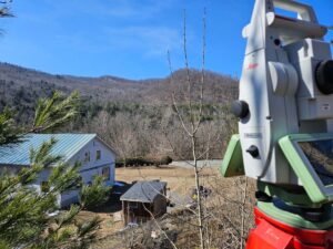
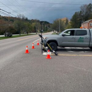
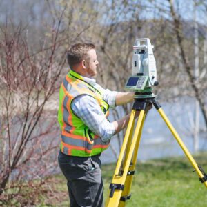
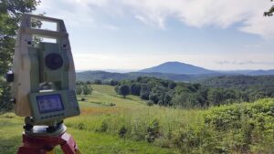
To do this, we measure specific elevations of a property and/or structure with survey-grade GPS, robotic total stations, and digital levels. We also analyze the property’s FEMA Flood Insurance Rate Maps and Flood Insurance Study profiles and compare them to our measured elevations. We utilize National Geodetic Survey and other benchmarks as additional checks to our elevation measurements.
Depending on the results of the survey, we can submit an Elevation Certificate (EC) to FEMA to reduce flood insurance premiums or provide a Letter of Map Amendment (LOMA) to remove the flood insurance requirement.
Reasons for a flood elevation survey
Reduce, reassess, or remove food insurance premiums
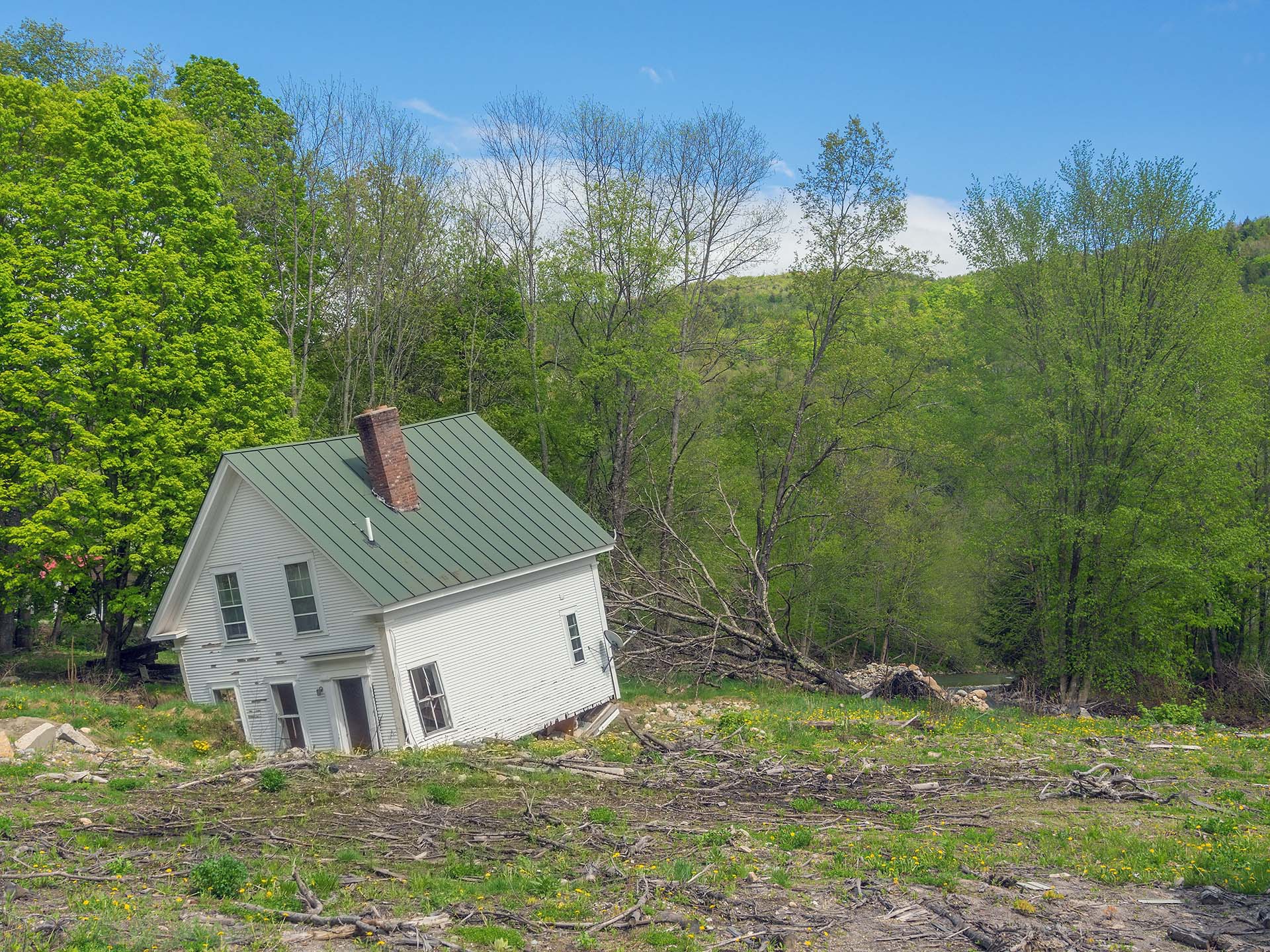
Many properties are subject to flood insurance requirements based on FEMA flood maps and not the true elevation of the property. Landowners who are purchasing or selling a property that is mapped in a flood zone by FEMA may benefit from a survey, as the result may reduce or remove flood insurance altogether. A survey may also be beneficial when insurance premiums rise, as the survey may result in a reduction to the flood insurance premiums.
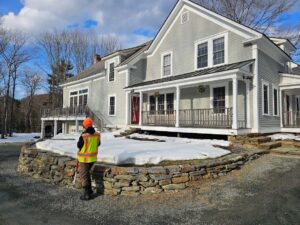
Construction planning
When construction is proposed in or near a flood zone, we can determine the elevations that will be above the flood zone.
Need a land surveying partner?
Let us be your partner for all your land surveying needs. We can help determine if—and when—you need a survey, and which services are right for you.
Serving Vermont, New Hampshire, New York & the Northeast
Holt Gilmour Survey Associates
(802) 457-4649
Locations
Woodstock
PO Box 544
51 Pleasant Street
Woodstock, VT 05091
(802) 457-4649
Williston
PO Box 1261
Williston, VT 05495
(802) 457-4649
Copyright © 2026 Holt Gilmour Survey Associates – All Rights Reserved – Website by Stride Creative Group