For Professionals
Land surveying is critical to responsible and legally compliant land development. It’s also necessary for making informed decisions about future development plans to protect your investment, avoid risk, and ensure a successful project. Whether you’re a professional with a project in Vermont, New Hampshire, New York, or throughout the Northeast, let Holt Gilmour be your trusted partner in land surveying.
Surveying services for professionals
We specialize in a variety of professional land surveying services. Our comprehensive services use the highest standards of practice and the highest precision equipment available to the industry to ensure accurate, detailed results. Our services are often used for boundary determination, regulatory compliance, subdividing, land development, site planning, utility mapping, environmental assessment and remediation, and to support various construction projects.
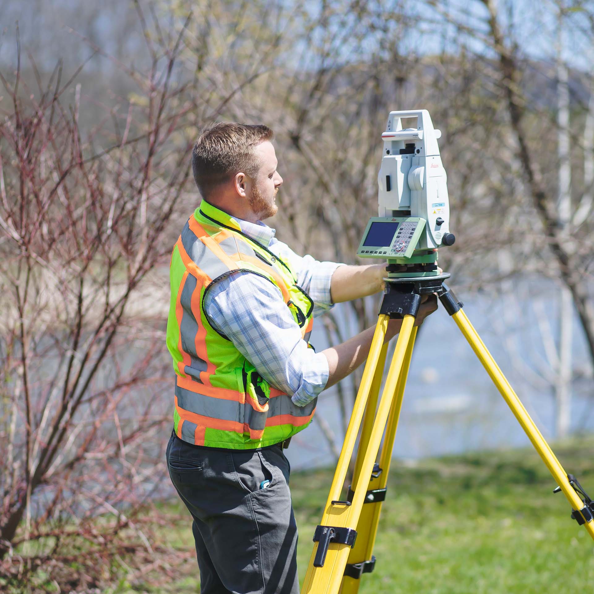
ALTA/NSPS surveys
ALTA (American Land Title Association)/NSPS (National Society of Professional Surveyors) surveys are required by title companies and/or lenders for the issuing of title or mortgage insurance. We perform this specialty type of survey to examine additional property items identified by an attorney or title agency, such as locations and dimensions of houses or buildings, easements, utilities, structures, and any other property details that may benefit or encumber the property or affect title and the rights of the owner. We strictly adhere to ALTA/NSPS and state survey regulations to ensure the job is done right.
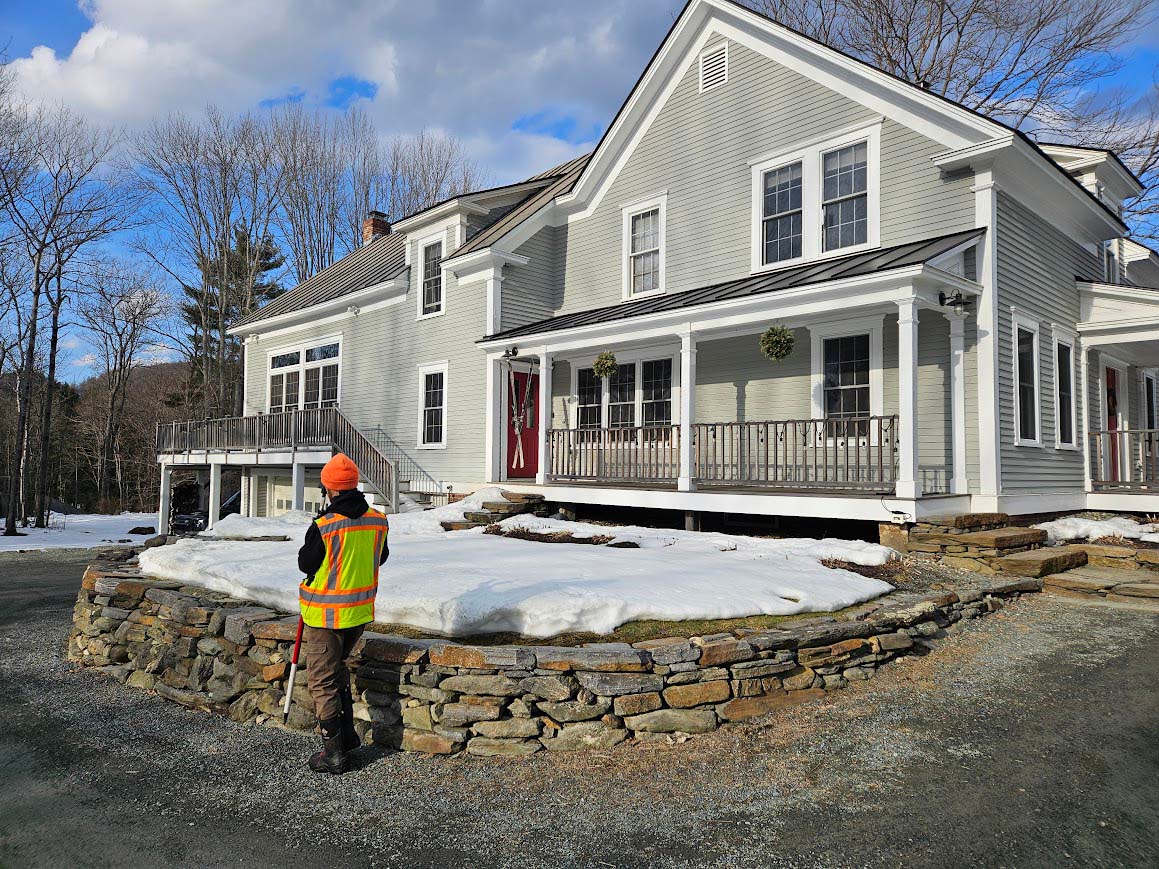
Boundary surveys
The most common type of survey we perform is a boundary survey to determine actual boundary lines and corners of an existing property. We perform extensive research, field reconnaissance, field measurement, drafting, and monumentation, going above and beyond to achieve the best and most accurate results. We perform these surveys with a high level of diligence, leaving no stone unturned to ensure an accurate result.
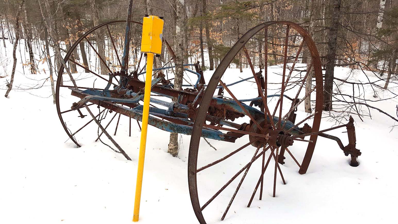
Boundary line adjustment surveys
Homeowners and developers can benefit from a lot line adjustment to re-draw the boundaries between two existing properties if needed to resolve discrepancies or uncertainties in property boundaries, or during the sale or exchange of all or a portion of the property.

Easement surveys
We help landowners and municipalities identify any easements or rights of way or establish new easements. If needed, we perform extensive historical research to help confirm, alter, or discontinue easements, helping municipalities take official action regarding town highways and rights of way. We have performed these surveys for many municipalities throughout the northeast.
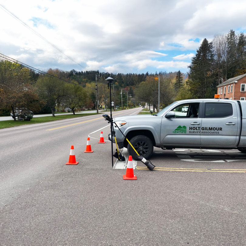
Existing conditions & as-built surveys
Existing Conditions & As-Built Surveys involve detailed documentation of the current state of a site, including all structures, features, and utilities. These surveys provide a precise record of the built environment as it exists, which is essential for planning renovations, ensuring compliance with regulations, and validating that construction has been completed according to design specifications.
Flood elevations surveys
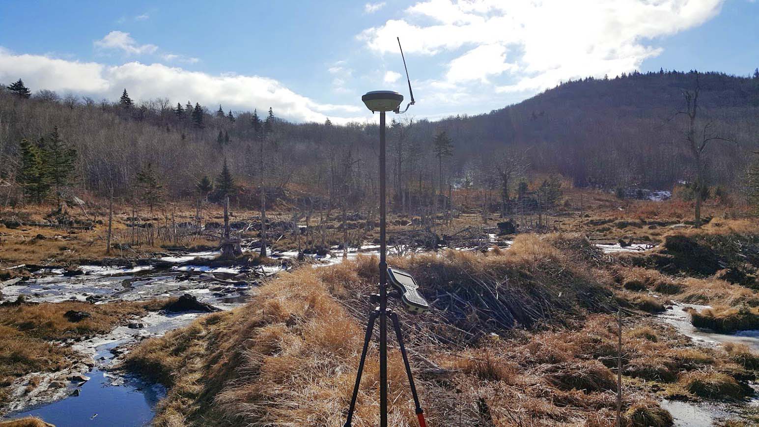
Flood Elevation Surveys help determine the need for flood insurance, and the results can help property owners reduce, reassess, or remove insurance premiums altogether.
Monitoring well surveys
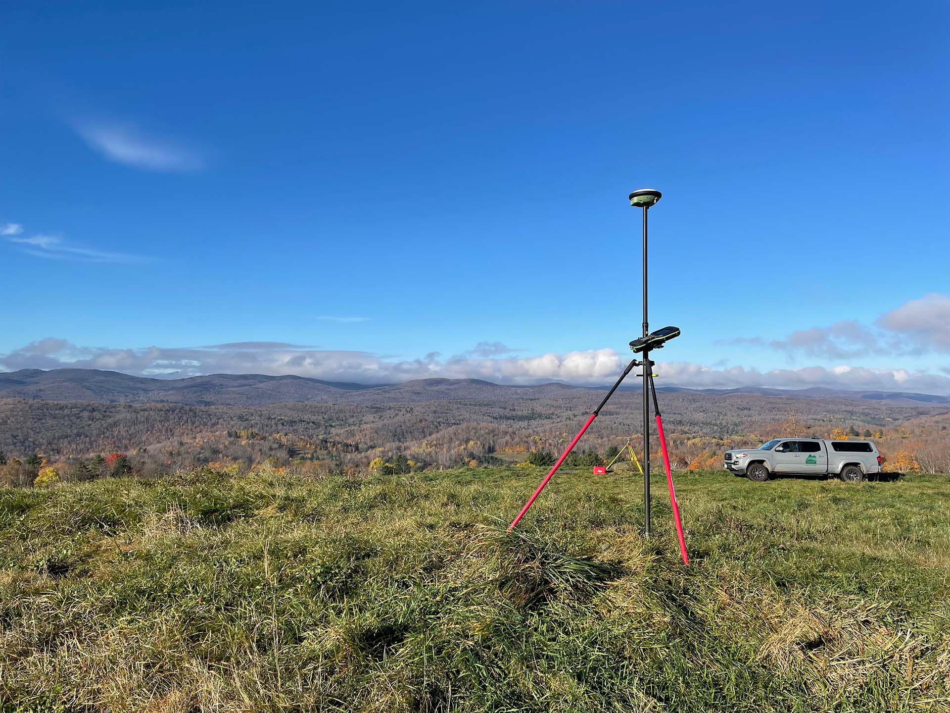
Monitoring Well Surveys are conducted to measure and track groundwater levels and quality at specific locations. These surveys are crucial for environmental monitoring, ensuring safe water supplies, detecting contamination, and managing groundwater resources effectively. We work closely with our environmental clients to provide accurate elevation data and monitor well mapping.

Subdivision surveys
We have particular expertise in subdivision surveys, using our deep knowledge of local zoning laws to divide land into smaller parcels and help our commercial clients determine a new subdivision design for future development.
Topographic surveys & site plans
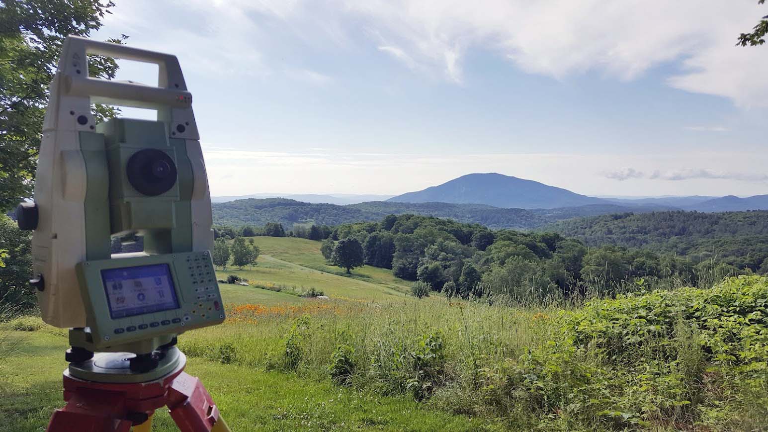
A topographic survey is a useful tool for professionals who are developing land, as they provide a detailed map of the elevations and features of the property and may aid in the design and planning of houses, additions, roads, and driveways as well as zoning enforcement.

Wetland surveys
Our services include the mapping of delineated wetland areas to assess their environmental significance and regulatory status. These surveys are essential for compliance with environmental regulations, planning land development projects, and protecting sensitive ecological areas.
We’ll help you accomplish your project goals.
Could your work be made easier with a land survey? We can help. Contact us to determine which service(s) you may need to help your project run smoothly.